
How does groundwater and sustainable drainage work at Northstowe?
Following several queries about groundwater and drainage at Northstowe, we have produced a booklet to explain and show how these assets are being managed through phases two and three of the development. We’re sharing this blog to address the main issues raised and reassure residents that every measure is being taken to ensure the town is being developed responsibly and with the aim of protecting the environment.
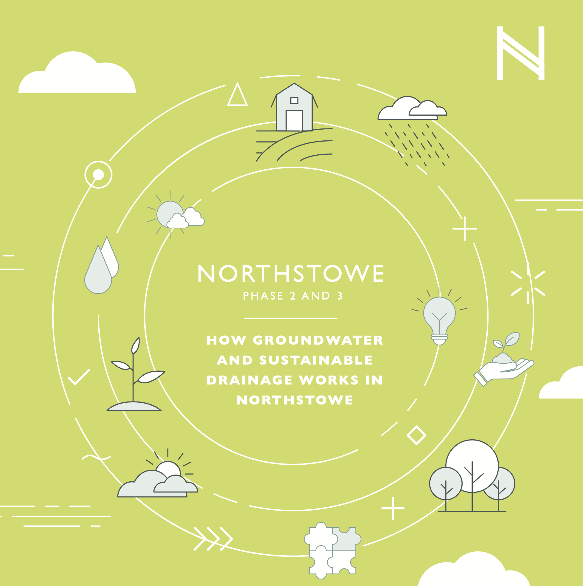
Click the image to download pdf brochure - 5.6MB
Why is groundwater and drainage so important?
Northstowe has sustainability at its heart. Its open spaces and buildings are conceived to enhance biodiversity, creating green corridors all around that link to the wider Cambridgeshire area. The landscape and green infrastructure of the natural land in and around Northstowe has helped to inform the layout of the town, integrating both green spaces and waterways for the community to enjoy.
As the development continues, great care and attention is being paid to drainage and groundwater to ensure the town and community is protected from the risk of major flood events. This is key, alongside ensuring that water assets serve the varying needs of wildlife, nature, people, and the environment in and around Northstowe.
What are the main challenges and concerns around groundwater and drainage at Northstowe?
As Northstowe is being developed, measures are being taken to ensure that rainfall runoff does not increase and cause flood issues downstream. This is a key consideration now and going forward, as the impact of climate change increases this risk.
We are aware of concerns that the development may be impacting groundwater in Northstowe and Longstanton, and that groundwater is being abstracted.
We want to reassure all stakeholders that these concerns are unfounded. This blog and the groundwater and sustainable drainage document aim to demonstrate that this is not the case, and detail how surface and groundwater is to be managed within the town, and the interaction between the proposed and existing water features.
In addition, we want to provide assurance that all phases of the development have been subject to a comprehensive Environmental Impact Assessment and Flood Risk Assessments.
How does drainage and flood prevention work at Northstowe?
Northstowe has a Sustainable Urban Drainage System (SuDS), which will manage surface water through a series of ponds, open swales, alongside roads and within green spaces. This protects the town from major flood events and has been designed well above the normal development standard.
The drainage strategy defines parameters for post-development surface water runoff from the site to prevent the risk of flood issues downstream. It has been designed as a sealed system to keep groundwater and surface water runoff separate and to ensure capacity for rainfall. Although the lakes may appear ‘full’, they have been designed with a 2m permanent water depth in addition to surface water attenuation to accommodate up to the one in 200 year rainfall event. This includes an additional allowance for climate change, which exceeds planning policy requirements.
Water is then discharged at an agreed rate equivalent to the mean annual greenfield runoff rate. In times of high rainfall, discharge rates will be lower than would otherwise occur were the site not developed.
Additionally, when water levels within the adjoining Beck Brook are high, all surface water runoff can be held in the lakes for up to 48 hours with zero discharge. This allows water levels in adjoining waterways to lower and is part of the strategy to reduce flood risk for Northstowe and adjoining communities.
Alongside these measures, Homes England is also carrying out groundwater monitoring across the site to understand the fluctuating groundwater baseline and how this is influenced by seasonal and climactic changes.
For more information about the management of groundwater and drainage at Northstowe, please refer to the full document here or get in touch.